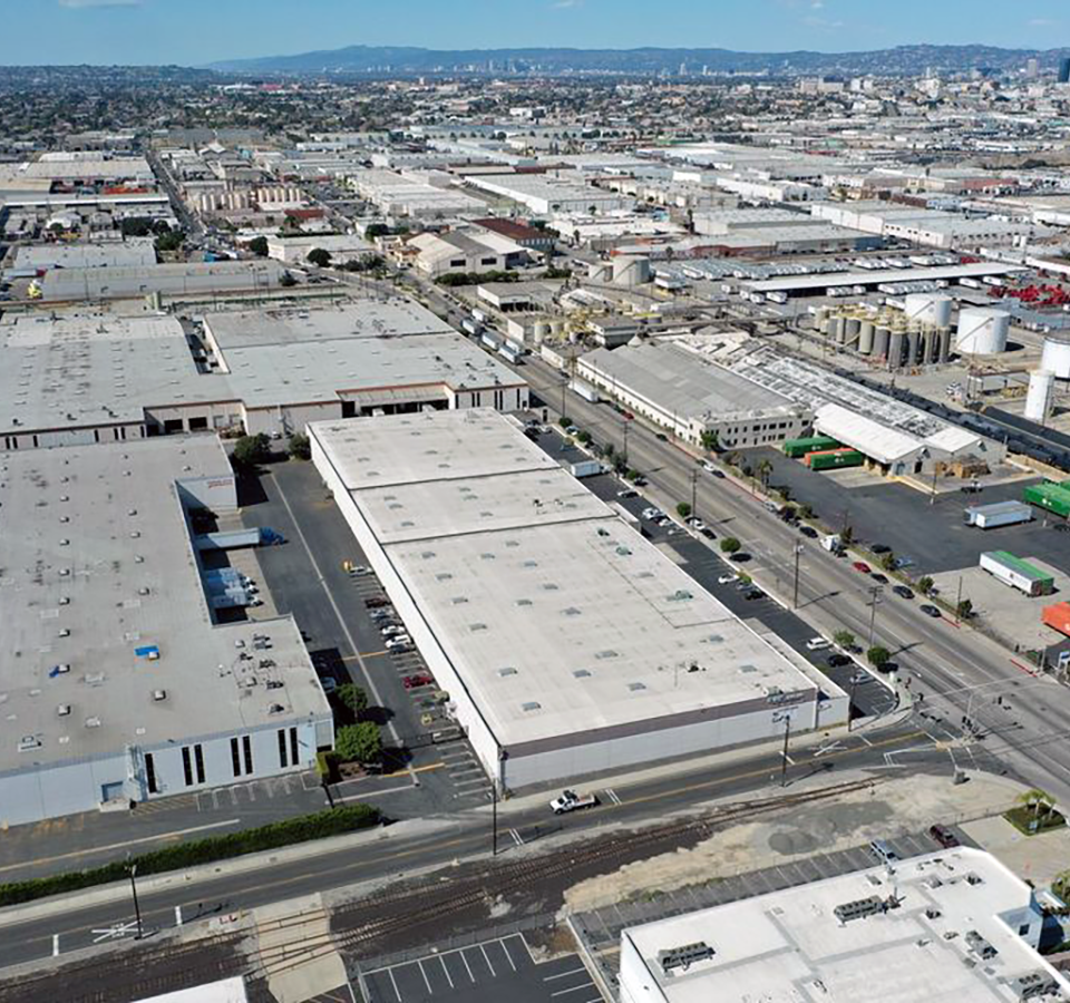
Sell real estate faster and attract more clients by showcasing your property from the air.
Aerial panoramas, high quality images, and videos illustrate proximity to nearby amenities and elevate your offering memoranda. DroneBase operates in every state and offers cost-effective CRE packages and volume discounts on our drone photography services.
- Multi-Family & Hospitality
- Industrial
- Retail & Mixed-Use
- Office Buildings
- Shopping Centers
- Property Development
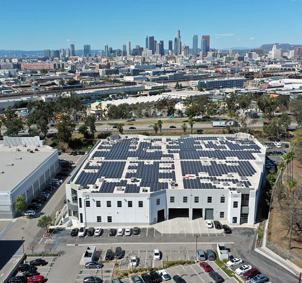
Receive actionable information from the sky for better, real-time decisions across residential, commercial, industrial, and other assets.
Our proprietary flight plans include thorough roof & equipment inspections, landscape review, parking lot & common area maintenance, investor & regulatory due diligence, natural disaster outcome, marketing, and many more.
- Parking Lot Inspections
- Roof & Equipment Inspections
- Marketing & More
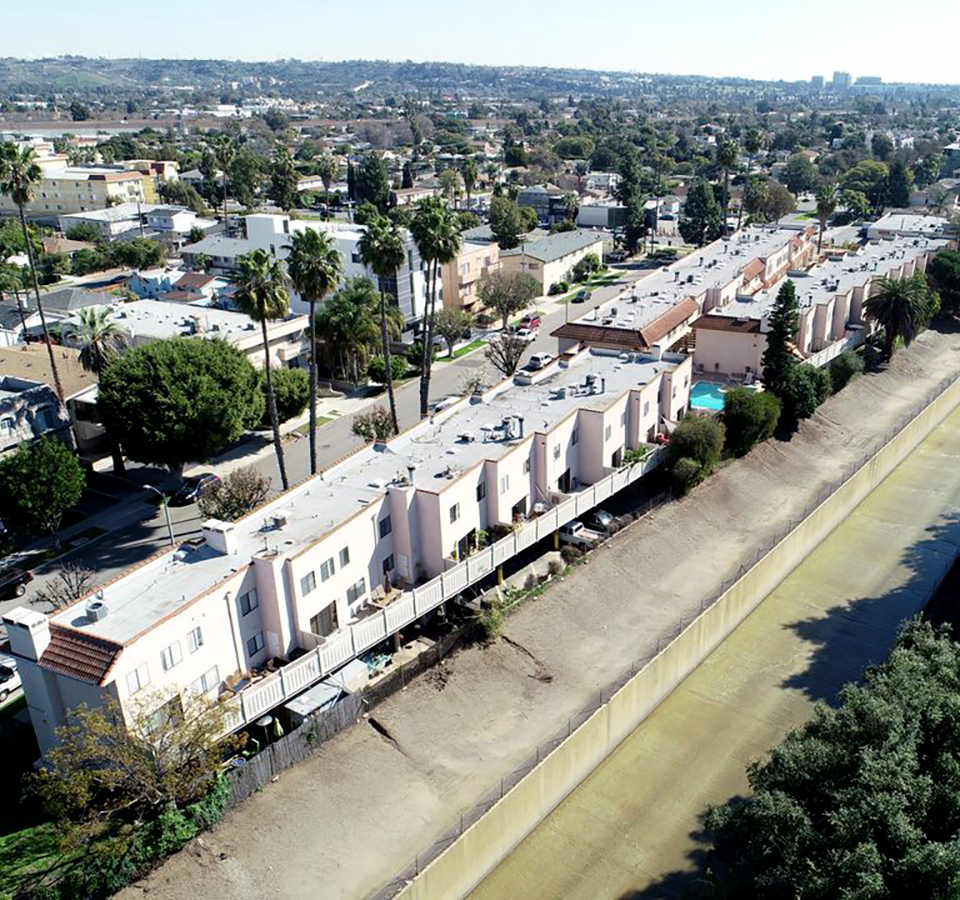
Be at the cutting edge of technology by using drones for roof inspections at scale nationwide.
Lower your operating costs and send pilots out to get the aerial property inspection imagery you need to process a claim or underwriting inspection. DroneBase insurance packages are safe, affordable, available nationwide, and FAA compliant.
- Residential & Commercial Claims
- Commercial Underwriting
- Natural Disaster-Related Claims
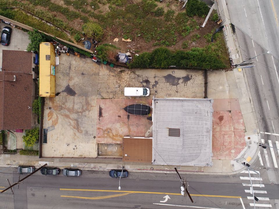
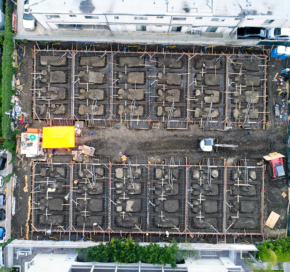
Track, map, survey, and manage your worksite projects with GAF Aerial Drone Services.
Construction site aerial imagery is the innovative solution to deliver sophisticated data analytics, mapping, or visual progress reports to stakeholders. DroneBase has worked on thousands of worksites nationwide. Our drone services include the necessary insurance to perform the jobs safely and under compliance.
- Visual Progress Updates
- Orthomosaic Mapping
- Volumetrics
- Visual Insights from JobSight
- Interactive Panoramas & Thermal Inspections
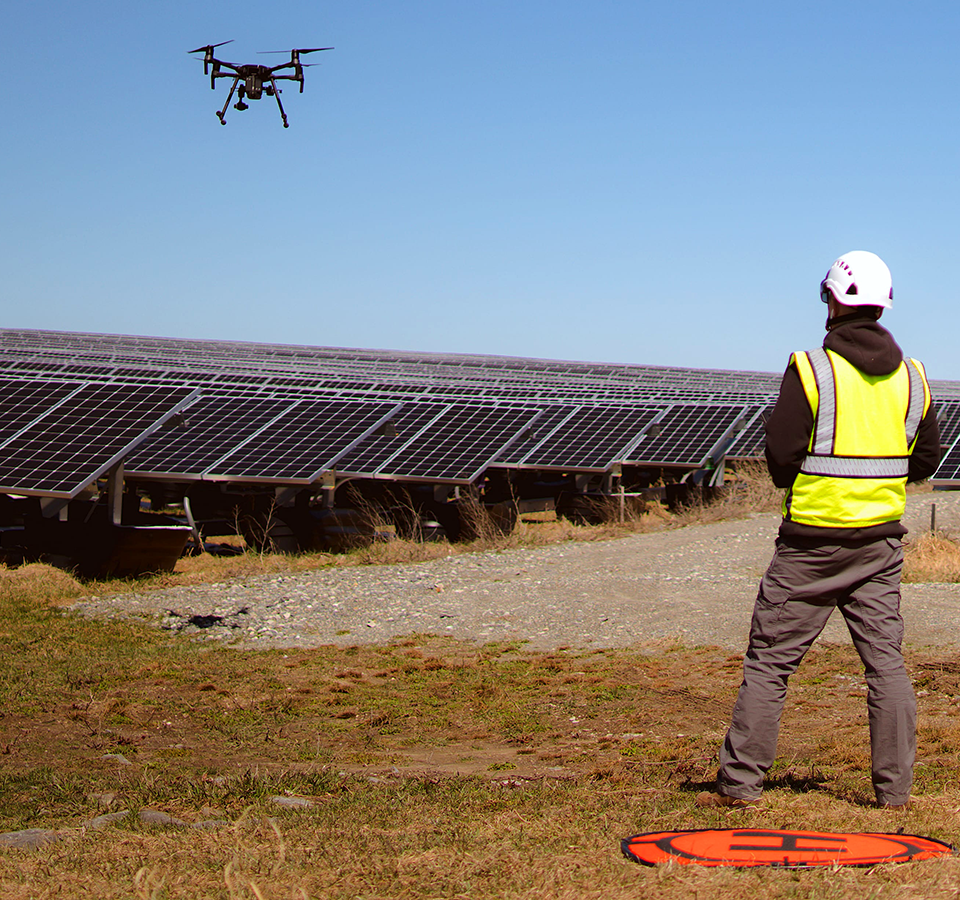
Improve the financial performance of your solar assets with efficient inspections, actionable insights, and ROI-positive results.
Through high-resolution imagery, thermal data, and accurate analysis, DroneBase Insights for Solar offers a scalable solution for enterprises to effectively manage their solar assets by reducing solar system risk and cost, while improving site performance and energy yield.
- Data Capture Expertise
- AI-Enhanced Analysis
- Effective Asset Management
Increase efficiency, enhance safety, and obtain more precise data of your wind turbines with aerial drone inspections and lifecycle management from DroneBase Insights.
Monitor the performance of a wind installation, inspect a site for potential warranty claims, or ensure your investment performs more efficiently. DroneBase delivers a flexible, scalable solution to inspect and manage your wind turbines with reduced downtime and lower costs.
- Flight Operations Expertise
- AI-Enhanced Analysis
- Actionable Insights

Give homebuyers a unique perspective and deeper impression of the neighborhood with stunning views only aerial imagery can provide.
We offer competitive pricing, fast turnaround, and high quality aerial footage across the country. Photo and video files are easy to download and compatible with MLS and other popular sites.
- Waterfront Properties
- Residential Neighborhoods
- Volumetrics
- Multi-Family Housing
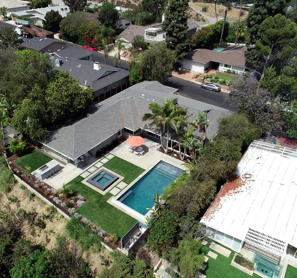

Aerial shots bring the garden or pool views into the image.

Give homebuyers a unique perspective and deeper impression of the neighborhood with stunning views only aerial imagery can provide.
We offer competitive pricing, fast turnaround, and high quality aerial footage across the country. Photo and video files are easy to download and compatible with MLS and other popular sites.
- Waterfront Properties
- Residential Neighborhoods
- Volumetrics
- Multi-Family Housing

GAF Aerial Drone Services is the ideal solution to drop operating costs, increase speed, and enhance safety no matter what industry you’re in across all 50 states.
From a single location to thousands of assets at scale nationwide. Get high-definition aerial videography & photography, including 360° views, of what matters most to your business.
- Telecom Inspections
- News & Broadcast
- Transportation
- Media & Advertising
- Infrastructure
- Traffic Solutions
